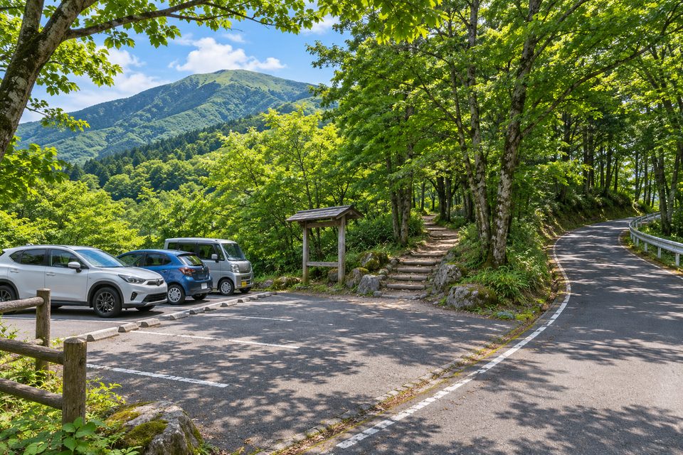
那岐山を岡山側から歩くとき、第1駐車場はB・Cコースの登山口と蛇淵の滝へ向かう人の出発点になります。車を降りてから、山頂を目指す日と、渓谷の滝を見て戻る日とで歩く道を選べます。
基本情報
| 所在地の目安 | 岡山県奈義町・那岐山B・Cコース登山口方面 |
|---|---|
| 利用目的 | 那岐登山、蛇淵の滝の散策 |
| 西側上段 | 2023年に14区画を増設 |
| 登山情報 | 岡山県の那岐山トレッキングマップ |
| 現地の問い合わせ | 奈義町観光案内所 0868-36-7311 |
岡山側の登山口を指定する
那岐山は岡山県奈義町と鳥取県智頭町の県境にあります。第1駐車場からB・Cコースを使う予定なら、ナビは岡山側の登山口に合わせてください。西側の上段は町が追加整備した区画です。登山口周辺では現地の番号表示を確認して車を置きましょう。
蛇淵の滝へ寄る場合
登山口に近い蛇淵渓谷には、原生林の中を三段に落ちる高低差約20mの滝があります。県のトレッキングマップで、滝を往復する道と登山道の分岐を確かめてから出かけると、山頂まで歩かない日も目的地を決めやすくなります。
積雪期の駐車場と登山道
冬の那岐山には雪が積もります。町の整備記事は駐車区画の案内で、雪の日の除雪や登山口までの通行可否はその日の状況で変わります。冬に車で向かう前に、奈義町観光案内所で山麓道路の状態と登山情報を確かめてください。
On the Okayama side of Mount Nagi, Parking Lot 1 serves both the B and C hiking routes and the walk to Jabuchi Falls. Choose your route before leaving the car. The falls sit in a wooded valley, while the summit walk continues up the mountain.
At a glance
| Navigation landmark | Mount Nagi B and C trailhead area, Nagi, Okayama |
|---|---|
| Visitor use | Hiking Mount Nagi or visiting Jabuchi Falls |
| Upper west section | Fourteen additional spaces opened in 2023 |
| Route information | Mount Nagi trekking map from Okayama’s tourism guide |
| Local visitor information | Nagi Tourist Information, 0868-36-7311 |
Choose the Okayama approach
Mount Nagi is on the border between Nagi in Okayama and Chizu in Tottori. For trails B and C from Lot 1, set your navigation to the Okayama trailhead. The town added parking on the upper west side of the lot. Follow the numbered parking signs on arrival.
Walking to Jabuchi Falls
In Jabuchi Valley near the trailhead, water drops about 20 metres over three tiers amid old-growth forest. Consult the trekking map to distinguish the walk to the falls from the trails continuing uphill, especially if the waterfall is your turnaround point.
Road and trail conditions in winter
Snow settles on Mount Nagi in winter. Road access and the parking spaces you can reach depend on conditions on the day. Before driving up in snowy weather, ask Nagi Tourist Information about the approach road and current trail conditions.