
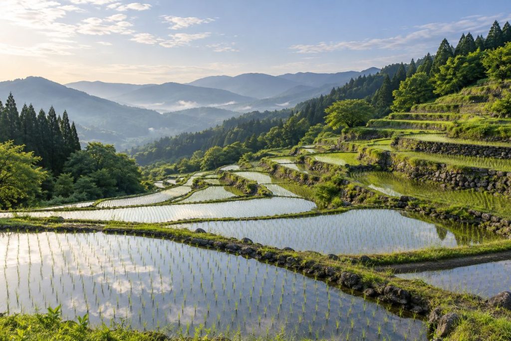
施設や地域の特徴を題材にした生成イメージです。
坂折棚田は、笠置山と権現山に囲まれた恵那市中野方町の農村景観です。約400年前から築かれた石積みの田に水が引かれ、春は田面に空が映り、秋には稲穂の色が山あいに広がります。棚田なごみの家や展望広場を起点に、景色と地域の営みをたどれます。
基本情報
| 所在地 | 岐阜県恵那市中野方町字坂折 |
|---|---|
| 歴史 | 江戸時代初期から約400年 |
| 選定 | 1999年7月「日本の棚田百選」 |
| 案内施設 | 棚田なごみの家、展望広場、駐車場 |
| ガイドウォーク | 野瀬バス停発、なごみの家・展望広場方面へ上る約1.7km・約75分、1人2,000円、5日前までに申込 |
| アクセス | 恵那ICから車約20分/恵那駅から中野方線で野瀬バス停 |
約400年の歴史を刻む石積みの棚田
坂折棚田は江戸時代初期からつくられ、明治時代初期には現在に近い景観が形づくられました。石積みの技術が引き継がれ、1999年7月には農林水産省の「日本の棚田百選」に選ばれています。
湧水と石垣がつくる景観
棚田の上流には希少な植物が育つ湿地があり、湧水が田へ流れます。冷たい水を直接田面へ入れない工夫として、手畦や暗渠、清水口などの水路技術が使われてきました。田の区画や石積み、水の流れを見比べると、農地としての機能と景観の両方を支える知恵が見えてきます。
春の水鏡から秋の稲穂まで
5月は水を張った田んぼに青空が映る「水鏡」、夏は緑や水辺の生き物、秋は黄金色の稲穂が見られます。棚田は現在も耕作地です。見学は農道や展望場所から楽しみ、田や石積みには入らずに歩きます。
恵那ICから車で約20分、野瀬から歩く方法も
恵那ICから車で約20分、恵那駅からは中野方線バスで野瀬バス停へ向かいます。見学拠点は棚田なごみの家(中野方町字坂折782-1)と西側の展望広場で、どちらにも駐車場があります。ガイドウォークは野瀬バス停発、なごみの家・展望広場方面へ上る約1.7km・約75分のコースで、1人2,000円。5日前までの申込みが必要です。
恵那市内の観光・宿泊・食事を組み合わせる
坂折棚田の見学と市内滞在を組み合わせるなら、飯地高原自然テント村の宿泊案内、らっせぃ庵の食事情報、そばの郷らっせぃみさと駐車場の駐車場案内も確認できます。
Sakaori’s terraced fields lie in rural Nakanohō-chō, between Mount Kasagi and Mount Gongen. Stone-built paddies dating back about 400 years carry spring water; in spring, the sky reflects in the flooded fields, while autumn brings the colour of ripening rice across the hillsides. Start at the Nagomi-no-Ie visitor hub or viewpoint to explore the scenery and local life.
At a glance
| Location | Sakaori, Nakanohō-cho, Ena, Gifu |
|---|---|
| History | About 400 years, dating to the early Edo period |
| Recognition | Selected for Japan’s Top 100 Terraced Rice Fields in July 1999 |
| Visitor facilities | Nagomi-no-Ie visitor hub, viewpoint and parking |
| Guided walk | From Nose bus stop uphill to Nagomi-no-Ie/viewpoint; about 1.7 km and 75 minutes; ¥2,000 per person; book at least five days ahead |
| Access | About 20 minutes by car from Ena IC; Nakanohō Line bus from Ena Station to Nose stop |
Terraced rice fields with about 400 years of history
Sakaori Terraced Rice Fields date to the early Edo period, and the landscape took much of its present form in the early Meiji period. Stonework techniques have been passed down here, and the terraces were selected for Japan’s Top 100 Terraced Rice Fields in July 1999.
A landscape shaped by spring water and stone walls
Wetlands upstream of the fields support rare plants and feed the paddies with spring water. Local water-management features—including small hand-built channels, underground drains and outlet structures—help keep cold spring water from flowing directly into the fields. Compare the plots, stone walls and water routes to see how the landscape serves both farming and scenery.
From spring reflections to autumn rice ears
In May, the water-filled paddies can reflect the sky; summer brings green fields and waterside wildlife, while the rice turns golden in autumn. The terraces remain working farmland. Enjoy the view from farm roads and designated viewpoints, and keep out of the paddies and stone walls.
About 20 minutes by car from Ena IC; walking from Nose
The terraces are about 20 minutes by car from Ena IC. From Ena Station, take the Nakanohō Line bus to Nose stop. Visitor facilities include the Nagomi-no-Ie hub (782-1 Sakaori, Nakanohō-cho) and the west viewpoint; both have parking. The guided walk starts at Nose stop and climbs toward Nagomi-no-Ie and the viewpoint, covering about 1.7 km in 75 minutes. It costs ¥2,000 per person and requires booking at least five days ahead.
Combine sightseeing, stays and dining in Ena City
If you are combining a visit to Sakaori Terraced Rice Fields with a stay in the city, you can also check accommodation at Iiji Kogen Nature Tent Village, dining at Rassei-an and parking at Soba-no-sato Rassei Misato Parking.
周辺の地図
同じ地域の旅の案内
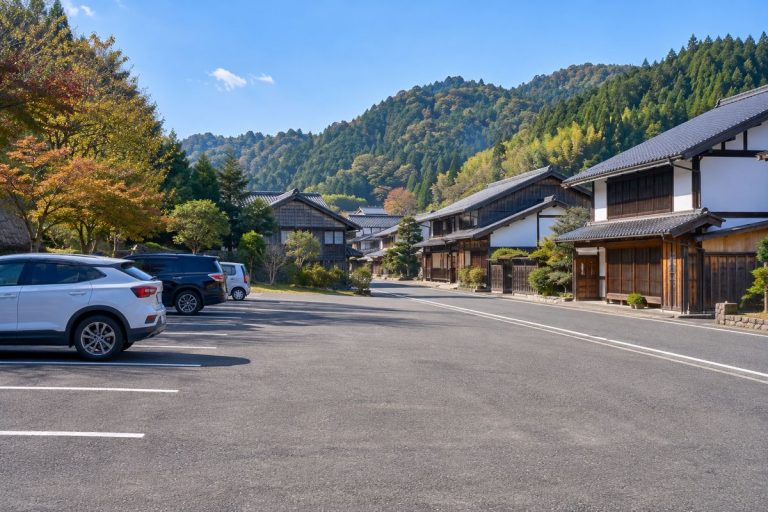
日本大正村駐車場|明智の町歩きに使える駐車拠点
日本大正村周辺の無料観光駐車場は計100台。明知鉄道・明智駅から村の入口まで徒歩約5分、恵那IC・瑞浪ICから車で約40分です。有料館は季節で開館時間が変わり、休館日は施設ごとに異なります。観光案内所は0573-54-3944です。
案内を読む↗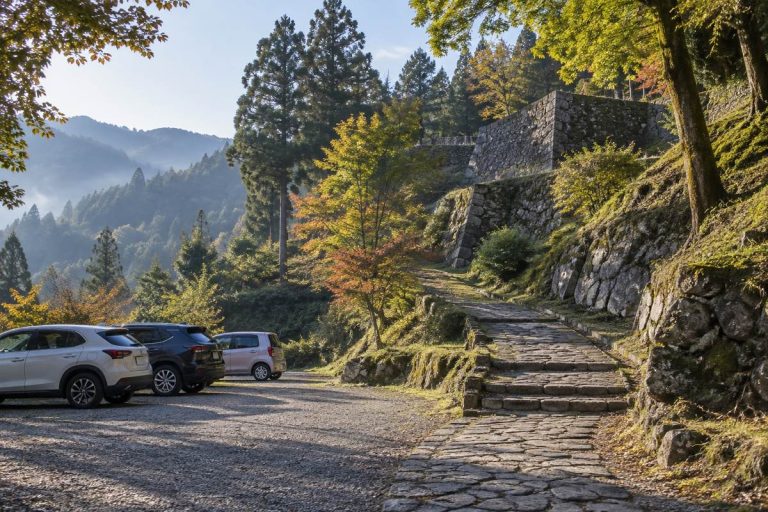
岩村歴史資料館前駐車場|岩村城跡登城口の無料駐車場
岩村歴史資料館前にある無料駐車場で、岩村城跡への登城口に位置します。城下町第1駐車場から離れた山側の入口にあり、資料館から城跡本丸までは約800mの急な上り坂。普通車は約50台、大型バスは5台駐車できます。所在地は恵那市岩村町98です。
案内を読む↗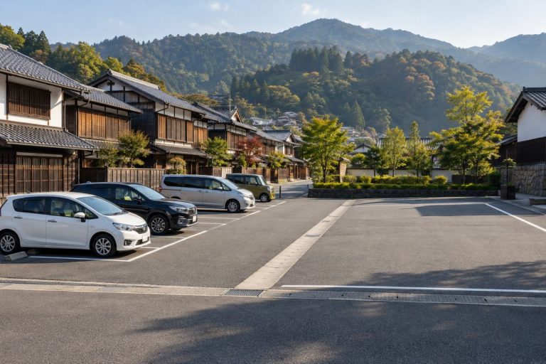
岩村城下町第1駐車場|改修後の住所とバス4台区画
2025年にリニューアルした岩村城下町第1駐車場です。恵那市岩村町545-1にあり、バス専用区画4台分とトイレを備えます。岩村城下町本通りへ徒歩約2~3分。駐車料金は無料で、普通車はバス専用区画を除くスペースに駐車できます。
案内を読む↗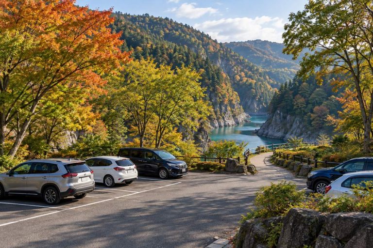
恵那峡第1駐車場|さざなみ広場に近い無料駐車場
恵那峡公園の湖畔側にある無料駐車場で、さざなみ広場に近い位置です。58台分の駐車スペースがあり、恵那ICから車で約10分、恵那駅から東濃鉄道バスで約15分、「恵那峡」下車後は徒歩約5分です。第2駐車場は2024年7月に閉鎖され、利用できる駐車場は第1・第3・第4です。
案内を読む↗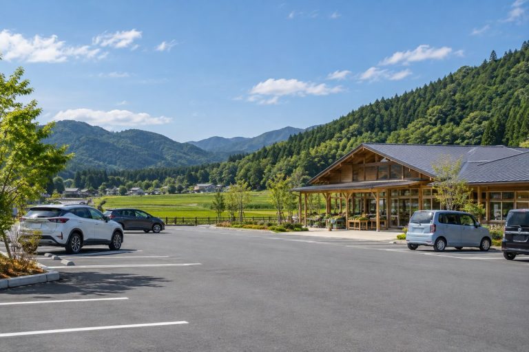
そばの郷らっせぃみさと駐車場|小型31台と24時間利用
岐阜県道66号線沿いの道の駅「そばの郷らっせぃみさと」にある駐車場です。県の案内は小型車31台、大型車6台、障がい者用2台を掲載し、駐車場とトイレは24時間利用可能。恵那ICから県道66号線を経由して車で約10分です。そば処や直売所、そば打ち体験を利用する際の拠点になります。
案内を読む↗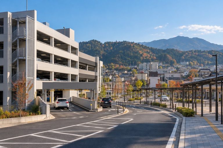
恵那駅西駐車場|90分無料と24時間利用の立体駐車場
JR恵那駅西側にある市営の自走式立体駐車場です。普通車190台を収容し、入庫から90分は無料、その後は30分ごとに50円。24時間ごとの上限は1,000円で、24時間営業・年中無休です。高さ2.1m、幅1.9m、長さ4.9mを超える車両は入庫できません。定期駐車は市内在住・在勤等の対象者向けです。
案内を読む↗