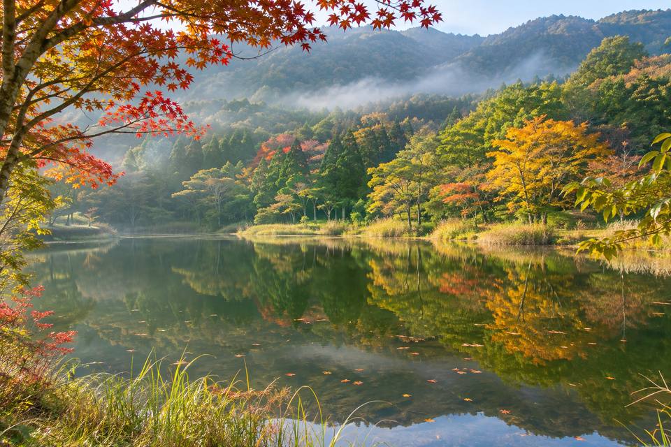
野呂山ビジターセンター駐車場は、呉市東部の川尻から山上へ上がり、氷池や展望台を歩くための無料駐車拠点です。海岸の市街地とは違う標高約800mの高原で、自然の展示、池の散歩、岩や島の眺望を組み合わせられます。ロッジやほかの駐車場所とは別に、ビジターセンター横を目的地にできます。
基本情報
| 駐車 | 無料、ビジターセンター横 |
|---|---|
| 場所 | 川尻町野呂山、氷池北側 |
| 到着 | 安芸川尻駅から車約20分 |
| 案内施設 | ビジターセンター9:00~18:00、無休 |
氷池北側を散策の出発点にする
駐車場は野呂山ビジターセンター横にあり、無料で利用できます。氷池北側の案内施設を目印にして到着し、地図を見て池や展望台方面へ歩けます。山上には野呂高原ロッジなど別の駐車場所もあるため、車を戻す場所を決めてから散策すると行程をまとめやすくなります。
案内施設で自然と歴史を知る
ビジターセンターは9~18時・無休で、自然や歴史を紹介する写真・パネル、地元産品の売場、交流のスペースなどがあります。研修室や陶芸などは内容に応じた予約・利用料がある一方、山上へ車で到着する駐車料金は無料です。建物の開館時間を、そのまま駐車場の閉鎖時刻として扱わずに利用できます。
氷池とかぶと岩の眺望を組み合わせる
氷池はかつて天然氷を作った池で、水草や周囲の木々の景色を楽しめます。かぶと岩展望台はビジターセンターから徒歩約5分の案内で、とびしま海道の島々や橋が見渡せます。晴天でも山上の霧や風で見え方は変わるため、池の散策と眺望を当日の天候に合わせて組み合わせられます。
川尻から山道を上がる
安芸川尻駅から車約20分、呉ICから山上方面は約1時間の案内です。川尻側からさざなみスカイラインを上る道を使い、カーブの続く山道と海岸道路の移動を分けて時間を取れます。標高約800mのため海辺と気温が変わり、冬や悪天候時は路面条件にも注意が必要です。出発前に山道の通行条件や規制の有無を確認してください。日中の散策と帰りの運転時間を合わせて利用できます。
呉市内で組み合わせる訪問先
呉市は中心の港町から川尻・安浦、音戸・倉橋、とびしま海道の島々へ広がります。下の施設は市内の別分野の訪問先です。地域が異なる施設は車やバスでの移動時間を取り、橋の通行料、食事の締切、宿の到着時間に合わせて組み合わせられます。駐車場は訪れる地域と出入庫条件で選べます。
This free car park beside Norosan Visitor Centre supports walks around Koriike and the mountain viewpoints above Kawajiri in eastern Kure. At roughly 800 metres, the plateau combines nature information, a pond walk, rock formations and island views. Navigate specifically to the visitor-centre area rather than another mountain car park.
At a glance
| Parking | Free, beside the visitor centre |
|---|---|
| Location | Norosan, Kawajiri-cho, north of Koriike |
| Arrival | Around twenty minutes by car from Aki-Kawajiri Station |
| Information building | Visitor centre 09:00–18:00, daily |
Start a walk north of Koriike
The free lot sits beside Norosan Visitor Centre, north of Koriike. Use the information building as an arrival landmark, check a map and walk towards the pond or viewpoints. Other parking areas, including the lodge’s, are separate, so keep the return point clear when planning a route.
Nature and history at the visitor centre
The visitor centre opens 09:00–18:00 daily, with nature and history panels, photographs, local products and social space. Meeting rooms and pottery facilities follow their own booking and fee arrangements, while parking is free. Building opening hours are separate from any parking-access conditions.
Combine Koriike with Kabutoiwa views
Koriike was once used to produce natural ice and now offers aquatic plants and reflections of nearby trees. The city places Kabutoiwa viewpoint around five minutes on foot from the visitor centre, overlooking the Tobishima islands and bridges. Mountain fog and wind affect views, so combine the pond and viewpoints according to conditions.
Driving uphill from Kawajiri
Allow around twenty minutes by car from Aki-Kawajiri Station, or about an hour from Kure IC towards the plateau. The Kawajiri approach climbs the Sazanami Skyline, adding winding mountain-road travel to the coastal journey. At roughly 800 metres, temperatures differ from the shore and winter or poor weather affects road conditions. Check the mountain-road access conditions and any restrictions before departure. Include the return drive in a daytime walking plan.
Other stops to combine within Kure City
Kure extends from the central port to Kawajiri, Yasuura, Ondo, Kurahashi and the Tobishima islands. The links below introduce other types of city stops. For venues in different districts, allow driving or bus time as well as bridge tolls, last orders and accommodation arrival. Select parking by the area visited and its access conditions.
周辺の地図
同じ地域の旅の案内
下蒲刈市民センター前駐車場|無料50台、三之瀬の文化施設へ
蘭島文化振興財団の施設見学には、下蒲刈市民センター前の無料駐車場を利用できます。案内台数は50台・大型バス可。三之瀬の蘭島閣美術館や松濤園などは別料金で、基本9~17時・入館16時30分まで、火曜休。安芸灘大橋の通行料は別です。
案内を読む↗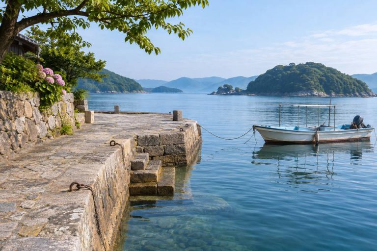
御手洗駐車場|大崎下島の無料20台、港町を徒歩で巡る拠点
御手洗の町歩きに使う無料駐車場は20台。大崎下島の保存地区で車を置き、港の高燈籠や雁木、商家の路地を徒歩で巡れます。観光案内の休憩所は平日10時・土日祝9時~16時30分、火曜休が基本で、駐車場と建物の利用条件は別です。
案内を読む↗アレイからすこじま駐車場|無料28台とバス10台、20時施錠
アレイからすこじま駐車場は船見町5-5、普通車28台・大型バス10台の無料観光駐車場。8~20時で、20時以降は施錠されます。予約制ではなく、工事や検診など観光以外の目的は対象外。港の公園の散策と駐車場の利用時間は分けて計画できます。
案内を読む↗入船山公園駐車場|122台、昼60分100円と美術館通りの散策
入船山公園駐車場は幸町の普通車122台、24時間・無休。8~20時は60分100円、20~翌8時は90分100円です。入船山記念館や呉市立美術館を歩いて回る拠点で、無料の入船山西観光バス駐車場12台とは別施設です。
案内を読む↗呉駅西駐車場|481台・24時間、昼夜別の上限と大和観覧の減免
呉駅西駐車場は481台、24時間・無休。7~24時は30分100円・区分最大1,500円、0~7時は1時間100円・最大500円です。車長5m・幅2m・高さ2m以下。大和ミュージアム当日観覧で職員対応7~20時に手続きすると1時間まで減免があります。
案内を読む↗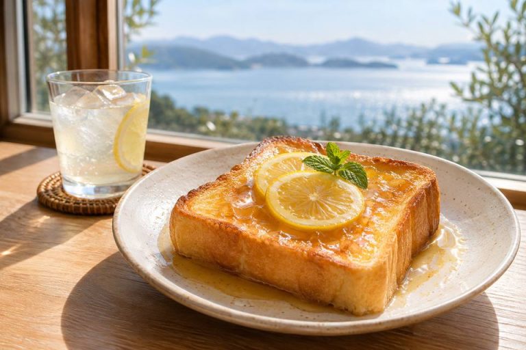
船宿カフェ若長|御手洗の古民家と大長レモン、週末の甘味休憩
船宿カフェ若長は御手洗325の歴史ある船宿を使うカフェで、土日祝11時から営業。大長のレモンやみかんを使う甘味・飲み物を選べ、品揃えは季節と収穫で変わります。住居の続く町並みを歩き、海を眺めて一息つける店です。閉店時刻と当日の提供品は来店前に店舗へ確認してください。
案内を読む↗